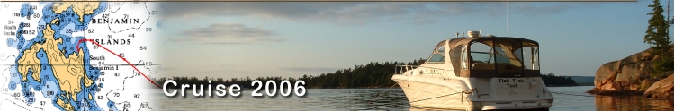
|
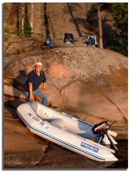
Landing Dinghy at
our 'Porch'
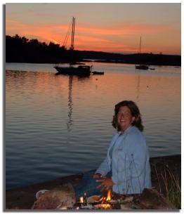
Enjoying Sunset by
the Fire
|
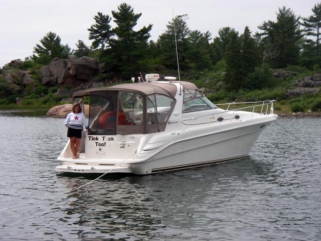
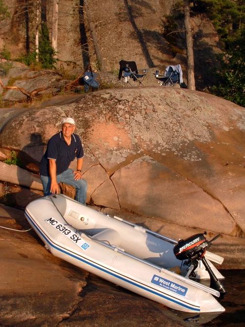
At 6:00 I loaded up the
dinghy before making our way to shore for dinner. Our
‘gear’ consisted of folding chairs, a portable grill, a
small cooler, the food, the cameras, jackets and sweaters,
and a thermos of drinks for each of us. We motored over to
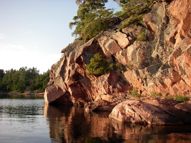
our ‘landing’ on the rocks, just below our ‘patio’.
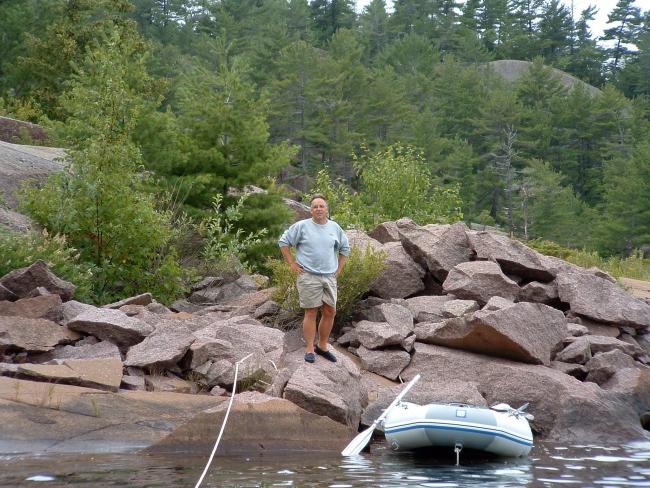
The dinghy fit in just right, between some rocks which
allowed us to beach it and get out easily without getting
wet. From there, it was uphill just a little to a nice rock
‘ledge’ at the base of very tall pink granite cliff that
soared high above behind us, with some really tall trees. It
was awesome.
Gina
started the small charcoal grill and prepared a fantastic meal of
sausages, peppers and onions, rice pilaf, and a salad. I had a
couple martinis with blue cheese olives, and Gina enjoyed a
cocktail mix of blue raspberry, fruit passion, and mango vodka.
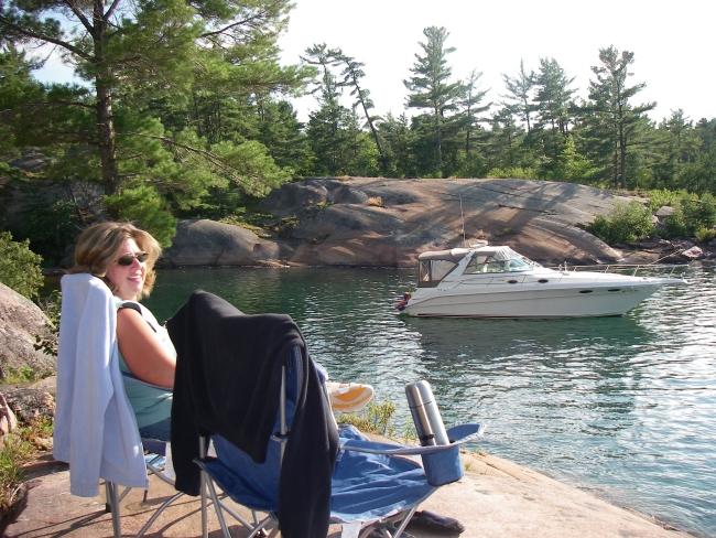
Sitting back in our chairs way up on our nice level rock perch, we
had a view to the west and north of both islands, where we could
see several boats anchored below. What a sight! It doesn’t get
much better than this!
After dinner the waters were
flat, and no wind. So at 7:15 we jumped in the dinghy for a
ride. This time we headed to the eastern side of South Benjamin
and looked at the Sow and Pigs rock formations. We picked our way
between the small islets and pulled right next to one that had a
sheer rock face. Gina took some underwater pictures, as the water
was nice and clear.
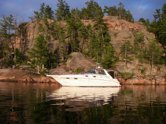
We returned to the boat to drop
off some of our gear and grab an after dinner drink. Back at our
perch and comfortable chairs, we lit a 3-hour log we had brought.
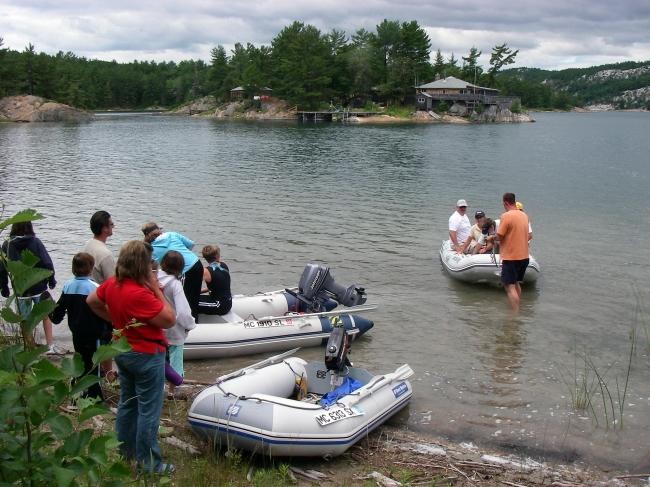
Someone had made a nice rock fire pit that came in handy. “Down
below” there were several boats coming in to anchor. We had heard
how crowded this spot gets, but tonight there were only three or
four sailboats, and maybe seven or eight powerboats. There were a
few people motoring around by dinghy, and a couple of gals who
were camping on the island came by in a canoe. They were drawn to
our location by the fire, and paddle by to say hello.
Sipping some Baileys Irish Cream,
we then settled back for a great sunset! We took lots of pictures
before the fire dwindled down. Packing up about 10:30, we made our
way back to the boat, where we ran the generator for a short while
and downloaded the days’ pics to the laptop. We reflected on how
we had ‘finally’ made it to this destination we had thought
about for quite some time. The stars were out in force, so we
crawled into bed with the front hatch open to enjoy the view
before finally crashing at midnight.
|

